CGAxis HDRI Maps Collection volume 5
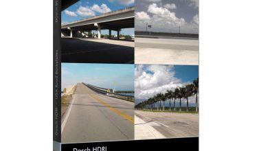
CGAxis HDRI Maps Collection Vol 5
On this page you can download Volume 5 of the CGAxis HDRI Maps Ultra Images Collection . High Dynamic Range Imaging (HDRI) is a high dynamic range (HDR) technique built into imaging and photography to create luminance and enhance the quality of the image and can be accessed in all 3D software such as 3ds max, Maya, cinena 4D , rhino and so on .
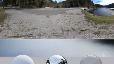
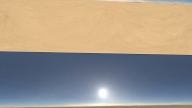
on This page you can Download CGAxis HDRI Maps Collection Volume 5, That contains 10 Huge resolution (15000px x 7500px), full spherical (360×180 degree) panoramic HDRI maps. (32-Bit per Channel.) That available separately in our HDRI Maps category.
CGAxis HDRI Maps Collection Vol 5 is made with excellent quality, realism and exceptional appearance. Ready to use in your 3d Architectural Projects, Animations, Game design, virtual reality and more …
- Total size: 3.33 GB
- File format : HDRI , jpg
- Instant download with high speed : Yes
Download CGAxis HDRI Maps Collection volume 5

Purchase one premium account, then you will be able to
download all the content on website with direct link.
Please Register here


